
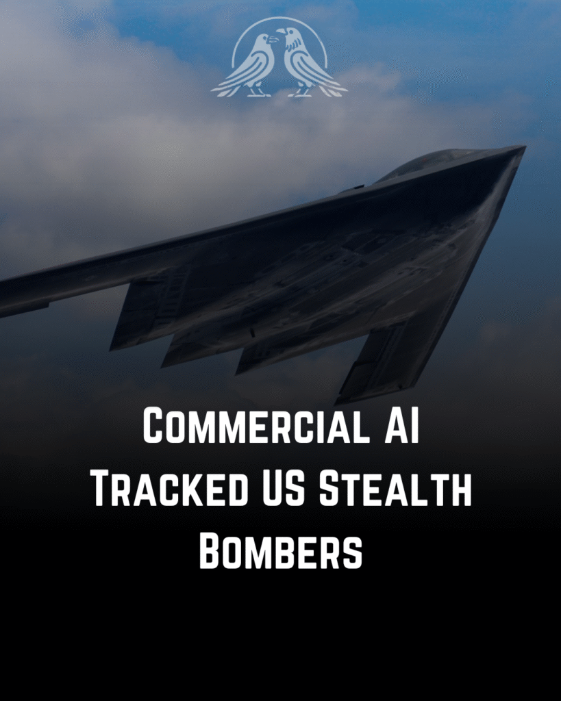
Two Hangzhou-based AI startups claimed they tracked US bomber operations during the 2026 Iran war, according to the South China Morning Post and an analysis by Kharon. Jingan Technology posted that its system intercepted voice communications and mapped the flight paths of four B-2A Spirit stealth bombers. That claim looked inflated on inspection, and outside analysts were unable to replicate or verify it.
The more serious work came from MizarVision, a firm the US has since sanctioned. It released dozens of high-resolution satellite images of American bases, warships and aircraft across the region, then correlated commercial aerial-tanker positions with that imagery to reconstruct US bomber strike windows. Its timeline split tanker activity into phases, including a March 9-14 surge over Saudi Arabia and the Gulf that supported B-1B and B-2 strikes on Iran. MizarVision’s methods, imagery sourcing and specific route claims remain disputed, and independent analysts have not fully reproduced them.
Sources: South China Morning Post, Kharon, FlightGlobal.
So What
While it’s important to approach the specific claims made by these firms with caution, since both have incentives to exaggerate and analysts have yet to verify their route reconstructions, the fundamental risk remains. Commercial satellite imagery and publicly available tracking feeds, which provide detailed information on tanker positions and ship movements, have advanced to the point where a private buyer can feasibly piece together sensitive military operations, potentially in near real time. This raw capability is accessible through paid subscriptions rather than being restricted by classification barriers. This trend is likely to continue eroding operational secrecy, even for the most advanced militaries.
Follow us to join the intelligence community!
#HMIntelligence #HM #OSINT #Iran #Geopolitics